Joan McGuire | [graphics] | illustration | paintings | surface pattern design
Infographics
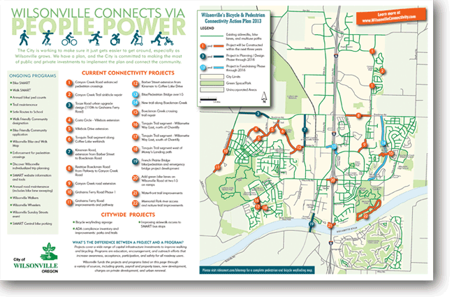
The City of Wilsonville's outreach efforts to familiarize the public with its 2013 Connectivity Plan included a brochure and website, both of which featured this comprehensive map. Joan McGuire Design joined with Alta Planning, which provided the GIS mapping data on which this piece is based.
